About the Watershed
Resources
We’re glad you’ve found us! At the SRWA, we’re committed to water resource protection, cultivating interest in watershed activities, and delivering education on water and environmental issues. We believe accurate information and education are key components to resource protection and citizen engagement.
In this blog, we will discuss what’s going on around the Stones River Watershed. Be sure to check out the folders below on topics of interest.
- All Resources
- Gallery
- Maps
- Natural Features
- Projects
- Recreation
- Research/Reports
- Stream Flow / River Gages
- Water Ways
- Watershed Facts
- Wildlife
All Resources
- All Resources
- Gallery
- Maps
- Natural Features
- Projects
- Recreation
- Research/Reports
- Stream Flow / River Gages
- Water Ways
- Watershed Facts
- Wildlife
Recreation
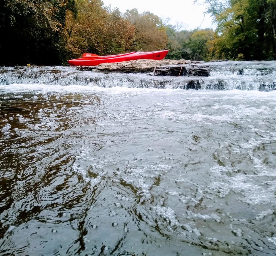
Information on Boat Day
Continue Reading →
Research/Reports
Research and Reports
New research grants partnership with MTSU. The Stones River Watershed …
Continue Reading →
Projects
Projects
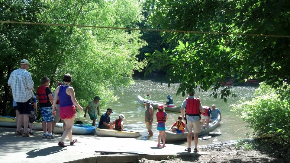
Details for our youth soil judging contests and the winning …
Continue Reading →
Gallery
Gallery
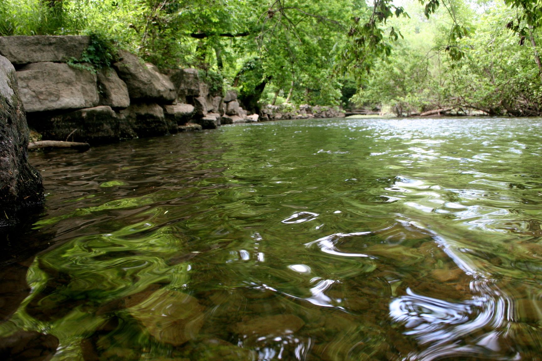
View some images of Stones River Watershed.
Continue Reading →
Wildlife
Wildlife
What Animals Live Here? There are numerous species that also call out …
Continue Reading →

Natural Features
Natural Features
12 Natural Areas There are 12 designated State Natural Areas in the …
Continue Reading →
Maps
Maps
Check out these interactive maps to see where landmarks of the Stones River Watershed are located!
Continue Reading →

Stream Flow / River Gages
River Gages
STREAM CONDITIONSCHANGE DAILY! Be Safe and Stay Informed The best …
Continue Reading →

Water Ways
Water Ways
Cannon County Headwaters Did you know the headwaters of the …
Continue Reading →

Watershed Facts
Watershed Facts
Did you know? The Stones River Watershed is comprised of: …
What is a Watershed?
The term watershed describes an area of land that drains down hill to the lowest point.
The water starts at the highest area on the terrain (headwaters), flowing downhill moving through a network of drainage pathways. It is relatively easy to delineate watersheds using a topographic map that shows stream channels. Watershed boundaries follow major ridge lines around channels and meet at the bottom, where water flows out of the watershed, a point commonly referred to as a stream or river.
The rain water flows creating small streams called tributaries, and grows progressively larger as the water moves on downstream, filling streams and rivers and eventually reaching lakes, reservoirs, and eventually the ocean. In Tennessee, streams flow into larger basins and then into the Mississippi River, which then drains into the ocean at the Gulf of Mexico.
Other terms used interchangeably with watershed include drainage basin and catchment basin. Watersheds can be large or small. Every stream, tributary, or river has an associated watershed, and small watersheds join to become larger watersheds. For example, the Stones River is one of 14 watersheds that make up the Cumberland River Basin.
Water can travel both underground (groundwater) and on the surface (surface water). These are connected. Rain flows into sinkholes and karst windows, flowing as groundwater below the surface eventually coming out at a spring.
Rain also picks up pollutants as it washes through the community and landscape. Pollutants include fertilizers, pesticides, animal waste, septic leaks, automobile fluids, brake dust, and many others. As citizens, we can do a lot to prevent pollution through easy daily actions to protect water quality.

